|
|
Caspian Sea Biodiversity Project under umbrella of Caspian Sea Environment Program |
| Biodiversity Report | Chronology | Sources | Collections | Check-Lists | Contacts |
ZIN has some 1800 objects (jars/numbers) of Caspian Sea fishes and fishes from its basin to be digitized including very important type specimens and historically valuable collections by
and some others.
According to our data (see Checklist), 102 species and subspecies from 51 genera and 19 families occur or reported from the sea, both native and introduced.
Fishes make up a major group of animals which provides a unique opportunity for assessing freshwater and brackishwater ecoregions of the Caspian Sea basin and monitoring change of its biodiversity.
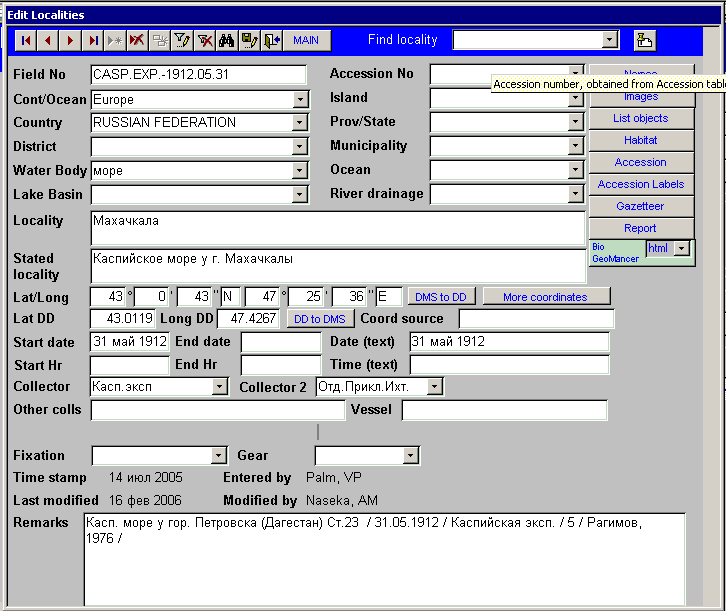
We plan (and have already started) to (a) fill a significant gap in the digitization of fish collections in ZIN, with many types; (b) develop a hierarchical gazetteer/database of hydrographic names to facilitate georeferencing, and (c) establish a bilingual gazetteer of Russian and English names for Russian, Azerbaijan, Georgian, Arnemian, Turkish, Iranian, Turkmenistan and Kazakhstan localities to facilitate international use of the database produced under (a).
Digitization of Caspian Fish collections, hierarchical georeferencing and developing tools for translating geographic names and interface elements.
The proposed product will include Caspian Sea basin fish data sets digitized with the use of the Artedian Zoological Collection Management System.
These tools will be easily compatible with all primary data sets to be developed in the partner collections as well as with any other collection database based on the Darwin Core.
The Caspian fishes
The proposed project are going to concentrate on aspects of the digitization effort that will stimulate the development of partnerships and networking among institutions particularly at the international or regional level and develop partnerships between these networks and the user communities.
Our experience confirms a major problem - the problem of using English as the universal language to be used in any database for international availability. There are both technical problems with using Cyrillic letters in some kinds of software, and problems with translation, especially of geographic names. Russian (all the former USSR) collections need more thorough coverage, and also an 'aquatic' Gazetteer would be highly desirable to facilitate geo-referencing of collections.
b) creating a connection between localities which are administrative or/and terrestrial objects (provinces, towns, villages, etc) and hydrographic objects. We have just started a database of cities/towns/villages located on coasts/bank/near hydrographic objects. This approach will work for all collections and surveys in principle (i.e., also terrestrial species) but which is implemented as proof of concept for any aquatic organisms. So, this could find interest from a wide international community involved in developing software and hierarchical interconnected gazetteers.
There are doubtless many reasons why having digitally georeferenced data linked to a hydrographic network would benefit science, conservation planning, and management, but these are just a few to show the most immediate.